Przewodniki żeglarskie - Francja - Morze Śródziemne

Przewodnik żeglarski na rejs we Francji (Morze Śródziemne)? Znajdziesz tu przewodniki, które informują o nawigacji, portach i atrakcjach turystycznych.

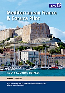
Mediterranean France and Corsica Pilot : A guide to the French Mediterranean coast and the island of Corsica

This is a comprehensive companion to the long coastline which ranges from Spain and the edge of the Pyrenees to the Alpes Maritimes and Italy. It covers the flat country of Languedoc-Roussillon, the coast of the Golfe du Lion, the Rhone delta and the Camargue, the industrial Golfe de Fos, the Cote d'Azur and the French Riviera and Monaco.
The island of Corsica and the waterways that run behind the coast linking the Canal du Midi and the etangs to the Rhone are covered in separate chapters.

The authors spent the summer and autumn of 2016 cruising in Corsica and then across to the Golfe du Fos where they left Skylax for the winter. During their travels they visited a large number of harbours and anchorages, collecting the latest information and taking new photographs. There are new aerial photos for many places and in particular for ports and harbours in Languedoc-Roussillon.

This major 2017 edition contains substantial change to the content.

Szczegóły

Autor:Rod Heikell
Wydanie:360 strony, 29.5 x 21 x 4 cm, twarda oprawa
Ilustracje:bogato ilustrowane, kolorowych zdjęć i mapy
Wydawca:Imray, Laurie, Norie & Wilson Ltd (GB, 2017)
ISBN:9781846238499
Mediterranean France and Corsica Pilot : A guide to the French Mediterranean coast and the island of Corsica

Mediterranean France and Corsica Pilot : A guide to the French Mediterranean coast and the island of Corsica

Język: angielski

Kup na Amazon PL
Kup na Amazon DE

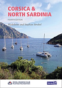
Corsica and North Sardinia - Including La Maddalena Archipelago

A well-established guide to Corsica and the northern region of Sardinia, which together constitute several varied cruising grounds - from the sometimes exposed and often dramatic bays of Corsica's west coast to the more protected and gentle cruising on its eastern side, to the rich choice of anchorages in the Bouches de Bonifacio and on Sardinia's island-studded north coast. This whole region is justifiably popular with cruising sailors, particularly in the summer season.

This fourth edition has been thoroughly revised by the authors, who have spent the past two years exploring the Corsican and Sardinian coastlines on their Bowman 40, Easy Rider. Included are a multitude of new photographs as well as thorough updates to the plans and text.
Several marine reserves have been established in the region and the latest restrictions of these are well documented.
"Corsica and North Sardinia" is the ideal guide, either for charter skippers or longer-term cruising sailors who want to make the most of this very special corner of the Mediterranean.

Szczegóły

Autor:RCC Pilotage Foundation, Madeleine Strobel, Stephan Strobel
Wydanie:42 x 21.5 x 1.6 cm, miękka oprawa
Ilustracje:bogato ilustrowane, kolorowych zdjęć i mapy
Wydawca:Imray, Laurie, Norie & Wilson Ltd (GB, 2020)
ISBN:9781786790736
Corsica and North Sardinia - Including La Maddalena Archipelago

Corsica and North Sardinia - Including La Maddalena Archipelago

Język: angielski

Kup na Amazon PL
Kup na Amazon DE

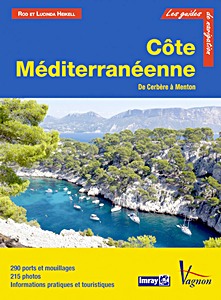
Côte Méditerranéenne - Du Cerbère à Menton (Guide Imray Vagnon)

Pour chaque port, île ou baie, le lecteur trouvera une description complète et détaillée, la cartographie, les approches de jour et de nuit, les amarrages et les mouillages, les équipements et services, ou encore les visites à faire à terre.

Ce guide couvre les canaux de l'arrière pays du Canal du Midi à Port de Bouc, les côtes du Languedoc-Roussillon de Cerbère à Port Camargue, la Provence de Port Gardian à La Ciotat, la Côte d'Azur de Saint-Cyr les Lecques à Cavalaire-Sur-Mer et du Golfe de Saint-Tropez à la Marina Baie des Anges et la Riviera de Nice à Menton.

Les guides Vagnon sont l'adaptation française des ouvrages de la prestigieuse maison d'édition anglaise Imray, référence mondiale dans le domaine de la cartographie marine. Ils décrivent avec une précision inégalée les ports, les marinas, les mouillages...
Leur présentation claire, avec beaucoup de photos complétant de nombreuses cartes et plans détaillés en font des ouvrages indispensables pour des croisières réussies.

Szczegóły

Autor:Rod Heikell, Lucinda Heikell
Wydanie:292 strony, 29 x 22 x 1.9 cm, miękka oprawa
Ilustracje:bogato ilustrowane, kolorowych zdjęć i mapy
Wydawca:Editions Vagnon (F, 2013)
Seria:Guide Imray Vagnon
ISBN:9782857259756
Côte Méditerranéenne - Du Cerbère à Menton (Guide Imray Vagnon)

Côte Méditerranéenne - Du Cerbère à Menton

Język: francuski

Kup na Amazon PL
Kup na Amazon DE

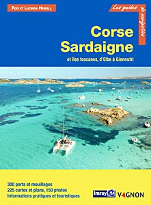
Corse et Sardaigne - et les îles toscanes, d'Elbe à Giannutri (Guide Imray Vagnon)

Pour chaque port, île ou baie, le lecteur trouvera une description complète et détaillée, la cartographie, les approches de jour et de nuit, les amarrages et les mouillages, les équipements et services, ou encore les visites à faire à terre.
Ce guide couvre Corse et Sardaigne ainsi que les îles toscanes, d'Elbe à Giannutri.

Les guides Vagnon sont l'adaptation française des ouvrages de la prestigieuse maison d'édition anglaise Imray, référence mondiale dans le domaine de la cartographie marine. Ils décrivent avec une précision inégalée les ports, les marinas, les mouillages...
Leur présentation claire, avec beaucoup de photos complétant de nombreuses cartes et plans détaillés en font des ouvrages indispensables pour des croisières réussies.

Szczegóły

Autor:Rod Heikell, Lucinda Heikell
Wydanie:276 strony, 28.5 x 21 x 1.5 cm, miękka oprawa
Ilustracje:bogato ilustrowane, kolorowych zdjęć i mapy
Wydawca:Editions Vagnon (F, 2021)
Seria:Guide Imray Vagnon
ISBN:9791027105380
Corse et Sardaigne - et les îles toscanes, d'Elbe à Giannutri (Guide Imray Vagnon)

Corse et Sardaigne - et les îles toscanes, d'Elbe à Giannutri

Język: francuski

Kup na Amazon PL
Kup na Amazon DE

Inne książki z tej kategorii:

Inland Waterways of France (1): North and Centre

Inland Waterways of France (Volume 1) - North and Centre

David Edwards-May | angielski | miękka oprawa | 200 str. | 2021

Inland Waterways of France (2): NE and SE

Inland Waterways of France (Volume 2) - Northeast and Southeast

David Edwards-May | angielski | miękka oprawa | 126 str. | 2021

Inland Waterways of France (3): South and West

Inland Waterways of France (Volume 3) - South and West

David Edwards-May | angielski | miękka oprawa | 146 str. | 2021

Map of the Inland Waterways of France

Map of the Inland Waterways of France

David Edwards-May | angielski | mapa (złożona) | 2019

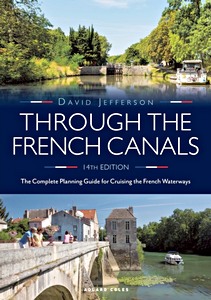
Through the French Canals

Through the French Canals : The Complete Planning Guide to Cruising the French Waterways

David Jefferson | angielski | miękka oprawa | 328 str. | 2021

Canaux et rivières de France

Canaux et rivières de France - Histoire, patrimoine, navigation

francuski | miękka oprawa | 215 str. | 2014

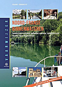
Vaarwijzer - Noord-Franse binnenwateren

Vaarwijzer - Noord-Franse binnenwateren: Vaargebieden in Picardië, Champagne-Ardennen, Vogezen en Elzas, inclusief Maas, Moezel en Rijn

Frank Koorneef | holenderski | twarda oprawa | 256 str. | 2018


Najnowsza aktualizacja: 2025-01-13