Revierführer - Schwarzes Meer: Navigation und Yachthäfen

Ein Segelführer für Ihren Urlaub auf dem Schwarzen Meer (Türkei, Bulgarien, Rumänien und Georgien)? Diese Bücher informieren über Navigation und Yachthäfen.

Cruising Bulgaria and Romania

'Cruising Bulgaria and Romania' aims to encourage many more yachtsmen to discover the pleasures of cruising the Lower Danube and the western Black Sea, to visit the ports and harbours (both antique and modern) and the miles of unspoilt beaches in these fascinating areas.
For the visiting yachtsman, the cruising areas of Bulgaria and Romania, the River Danube, parts of the Black Sea coast, and (in Romania) the Danube delta (a special area in its own right), offer an interesting diversity.

Despite being close geographical neighbours, Bulgaria and Romania are culturally very different. Bulgaria shares the Orthodox religion and Slavic cultural roots of Russia and Serbia, whereas Romania is a country with Latin cultural traditions similar to other western Mediterranean countries. Srebarna Lake, the North Romanian Black Sea coast, Kamchia and Strandja and the Danube Delta are internationally important as nature reserves and as homes to some rare and endangered species.

The River Danube is one of Europe's most ancient thoroughfares, but between Vienna and Bratislava the number of vessels on the river drops dramatically and the area is still relatively unknown to foreign boats.
Nicky Allardice has lived and worked in both countries and his guide is based on extensive first-hand experience.

Autor:Nicky Allardice
Ausführung:111 Seiten, 29.5 x 21 x 0.8 cm, kartoniert
Abbildungen:zahlreiche Farbfotos und Karten
Verlag:Imray, Laurie, Norie & Wilson Ltd (GB, 2007)
ISBN:9780852889107
Cruising Bulgaria and Romania

Cruising Bulgaria and Romania

Sprache: Englisch

Kaufen bei Amazon DE

Turkish Waters and Cyprus Pilot

Turkish Waters and Cyprus Pilot covers the entire coast of Turkey from the Black Sea down the Aegean coast and around to the Syrian border. The coasts, ports and marinas of the island of Cyprus are also described.
There are few more beautiful cities in the world that it is possible to sail into the heart of, but that is what the authors were able to do in Istanbul while researching this, the tenth edition. Their research also took them south as far as Göçek and to Cyprus.
Much has changed, with new marinas completed and more under construction, but much has also stayed the same, namely the warmth and hospitality of the people you encounter.

This new edition includes all the latest information and marina developments, with new plans and photos, many of which were taken by the authors.
Turkish Waters and Cyprus Pilot is considered the essential companion to sailing these waters.

Autor:Rod Heikell, Lucinda Heikell
Ausführung:358 Seiten, 30.5 x 22 x 2.3 cm, gebunden
Abbildungen:zahlreiche Farbfotos und Karten
Verlag:Imray, Laurie, Norie & Wilson Ltd (GB, 2018)
ISBN:9781846238260
Turkish Waters and Cyprus Pilot

Turkish Waters and Cyprus Pilot

Sprache: Englisch

Kaufen bei Amazon DE

Turquie et Chypre - De la Mère Noire à la frontière syrienne (Guide Imray Vagnon)

Pour chaque port, île ou baie, le lecteur trouvera une description complète et détaillée, la cartographie, les approches de jour et de nuit, les amarrages et les mouillages, les équipements et services, ou encore les visites à faire à terre.

Ce guide couvre une zone allant du golfe de Saros dans les Dardanelles à Istanbul, la côte Eolienne qui descend des dardanelles au golfe d'Idlir, la côte Ionienne qui descend de Cesme au golfe de Güllük, la côte Carienne de Gümüsluk à Marmaris, la côte Lycienne de Marmaris à Antalya, les côtes de Pamphylie et de Cilicie, d'Antalaya à la frontière syrienne, les côte de l'île de Castellorizo, les côtes de l'île de Chypre et la côte turque baignée par la mer Noire, de la frontière avec la Bulgarie à la frontière avec la Géorgie.

Les guides Imray sont l'adaptation française des ouvrages de la prestigieuse maison d'édition anglaise Imray, référence mondiale dans le domaine de la cartographie marine. Ils décrivent avec une précision inégalée les ports, les marinas, les mouillages...
Leur présentation claire, avec beaucoup de photos complétant de nombreuses cartes et plans détaillés en font des ouvrages indispensables pour des croisières réussies.

Autor:Rod Heikell, Lucinda Heikell
Ausführung:350 Seiten, 29 x 22.5 x 2.3 cm, kartoniert
Abbildungen:zahlreiche Farbfotos und Karten
Verlag:Editions Vagnon (F, 2009)
Serie:Guide Imray Vagnon
ISBN:9782857256267
Turquie et Chypre - De la Mère Noire à la frontière syrienne (Guide Imray Vagnon)

Turquie et Chypre - De la Mère Noire à la frontière syrienne

Sprache: Französisch

Kaufen bei Amazon DE

Andere Bücher in dieser Kategorie:

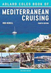
The Adlard Coles Book of Mediterranean Cruising

The Adlard Coles Book of Mediterranean Cruising (4th edition)

Rod Heikell | Englisch | kartoniert | 192 S. | 2018

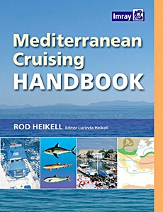
Mediterranean Cruising Handbook (6th edition)

Mediterranean Cruising Handbook (6th edition)

Rod Heikell, Lucinda Heikell | Englisch | kartoniert | 280 S. | 2012

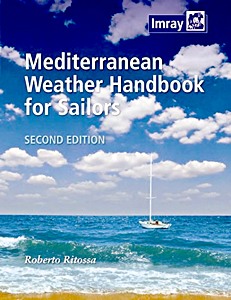
Mediterranean Weather Handbook for Sailors

Mediterranean Weather Handbook for Sailors

Roberto Ritossa | Englisch | kartoniert | 120 S. | 2014

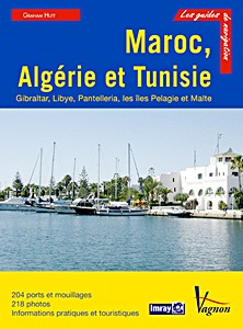
Maroc, Algerie et Tunisie

Maroc, Algérie et Tunisie - Gibraltar, Libye, Pantelleria, les îles Pelagie et Malte

Graham Hutt | Französisch | kartoniert | 308 S. | 2013


Letzte Aktualisierung: 2024-11-22