Vaarwijzers - Middellandse Zee: navigatie en jachthavens
Een vaargids voor uw vaarvakantie in de Middellandse Zee? Hier vindt U boeken over navigatie, jachthavens en toeristische bezienswaardigheden.
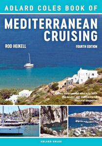
The Adlard Coles Book of Mediterranean Cruising (4th edition)
This is the perfect guide for anyone cruising in the Mediterranean by Rod Heikell, the acknowledged expert on Mediterranean sailing. Thoroughly updated, this new edition conveys the magic of Mediterranean cruising, as well as giving practical first-hand advice on sailing these enticing waters. Although the Mediterranean provides wonderfully diverse cruising opportunities, it can also deliver a few surprises to the unwary.
In this invaluable practical guide, Rod Heikell provides sound advice on: anchoring, berthing bow or stern-to, what weather to expect, facilities and the costs of keeping a boat there, plus advice on navigation, popular routes, formalities and what to expect ashore. Each country around the Mediterranean is covered, and there's even a handy section on shoe-string cruising for those on a tight budget.
Auteur:
Rod Heikell
Uitvoering:
192 blz, 24.5 x 17.5 x 1.5 cm, softcover
Illustraties:
rijk geïllustreerd met kaarten en kleurenfoto's
Uitgever:
Adlard Coles (GB, 2018)
ISBN:
9781472951236
The Adlard Coles Book of Mediterranean Cruising (4th edition)
The essential marine data resource for yachts sailing the Mediterranean, the Imray Mediterranean Almanac is published biennially with updates available in a downloadable supplement at the end of the first year.
It includes: - Data, waypoints and contacts for all major harbours and marinas throughout the Mediterranean Sea plus Atlantic Islands. - Weather sources for radio, internet and apps - Information on lights and buoys - Maritime regulations, marine reserves and traffic schemes - Coast radio stations and frequencies - GMDSS safety and distress communications - Harbour plans throughout, with the familiar Imray cartography which adds clarity to their use.
There are the usual detailed revisions throughout this edition, plus many new harbour plans.
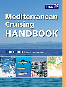
"The Mediterranean Cruising Handbook" is a constant companion to the Imray Mediterranean Almanac and provides information on climate, equipment, radio, naviagation, routes to the Mediterranean, history, marine life, food and basic information on each Mediterranean country.
This fully updated 6th edition has had a complete facelift and is now published in full colour in a new format. Throughout, the work has been updated, and in places expanded. It now includes a list of useful waypoints and routes ofr the entire Mediterranean which are shown on overprinted charts folded into the back of the book.
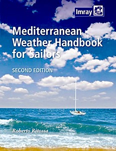
An indispensable reference providing a general understanding of the various phenomena concurring to determine weather in the Mediterranean as well as useful forecasting aids. It is written for sailors, not meteorologists - theory is kept to a minimum, while every effort is made to provide clear interpretative tools that are helpful in understanding actual weather and forecasting. Roberto Ritossa is a meteorology expert and this handbook is a result of many years research on Mediterranean weather patterns.
This second edition includes details of new and changed websites that offer meteorological services. Throughout the graphics have been improved and for some sections additional illustrations have been added.
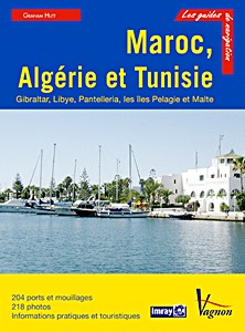
Maroc, Algérie et Tunisie - Gibraltar, Libye, Pantelleria, les îles Pelagie et Malte
Pour chaque port, île ou baie, le lecteur trouvera une description complète et détaillée, la cartographie, les approches de jour et de nuit, les amarrages et les mouillages, les équipements et services, ou encore les visites à faire à terre.
Ce guide couvre Gibraltar en Espagne, les côtes marocaines côté Atlantique et Méditerranée, la côte algérienne, la côte tunisienne, la côte lybienne de Tobrouk à Zuwarah, Pantellaria et les îles Pélagie entre la Tunisie et la Sicile, et l'île de Malte.
Les guides Imray sont l'adaptation française des ouvrages de la prestigieuse maison d'édition anglaise Imray, référence mondiale dans le domaine de la cartographie marine. Ils décrivent avec une précision inégalée les ports, les marinas, les mouillages... Leur présentation claire, avec beaucoup de photos complétant de nombreuses cartes et plans détaillés en font des ouvrages indispensables pour des croisières réussies.
Auteur:
Graham Hutt
Uitvoering:
308 blz, 29 x 22 x 2 cm, softcover
Illustraties:
rijk geïllustreerd met kleurenfoto's en kaarten
Uitgever:
Editions Vagnon (F, 2013)
Serie:
Guide Imray Vagnon
ISBN:
9782857258230
Maroc, Algérie et Tunisie - Gibraltar, Libye, Pantelleria, les îles Pelagie et Malte
Deze website gebruikt cookies en gelijkaardige technologieën om u een betere ervaring bij uw bezoek aan onze website te bezorgen. Door op "Toestaan" te klikken, stemt u in met het gebruik van deze technologieën.
Klik op "Weigeren" om niet-essentiële tracking uit te schakelen. Meer informatie >