Vaarwijzers - Ierland: navigatie en jachthavens

Een vaargids voor uw vaarvakantie in Ierland? Hier vindt U boeken over navigatie, jachthavens en toeristische bezienswaardigheden in Ierland.

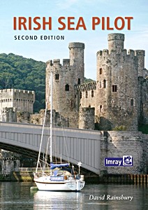
Irish Sea Pilot (Second Edition)

The Irish Sea is a huge, almost landlocked sea. Around its shores and islands there are no fewer than six countries, provinces or protectorates.
Several languages are represented- English, Welsh, Irish, Scots Gaelic and Manx, along with countless accents and dialects. Its waters teem with life - dolphins and porpoises are a common sight - leatherback turtles come here from the Caribbean to feed on the jellyfish and whales are regular visitors.
In the air there are gulls, puffins, guillemots and more.

The range of challenges and coastlines is astonishing. Tides above five knots are commonplace and yet there are calm, sheltered waters for relaxed wandering. This well established pilot covers both sides of the Irish Sea from Milford Haven to Portpatrick, and Rathlin Island to Carnsore Point.

From his base in Liverpool David Rainsbury spent much of 2014 revisiting the coasts he describes. The sailing directions and descriptions, updated for this second edition, cover all the places that provide shelter.
At the start of each chapter there are useful coasting notes which deal with some of the more difficult passages and tidal gateways. The harbour text is then clearly organised so that essential information regarding accessibility, tides and shelter always proceed the pilotage notes which are supported by clear full colour plans.
For this second edition the harbour plans have been updated and throughout new photos have been added. The text records all changes as well as including a new section on wind farms.

Specificaties

Auteur:David Rainsbury
Uitvoering:230 blz, 30 x 21 x 2 cm, softcover
Illustraties:rijk geïllustreerd met kleurenfoto's en kaarten
Uitgever:Imray, Laurie, Norie & Wilson Ltd (GB, 2015)
ISBN:9781846235917
Irish Sea Pilot (Second Edition)

Irish Sea Pilot (Second Edition)

Taal: Engels

Kopen bij bol.com
Kopen bij Amazon NL
Kopen bij Amazon BE

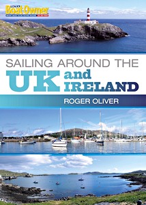
Sailing Around the UK and Ireland (Practical Boat Owner)

Based on a highly successful series of articles in Practical Boat Owner magazine, this is a detailed practical guide to sailing around the UK - all by means of day sails. Roger Oliver, a passionate sailor, explains his in-depth passage planning, boat preparations, weather checks and log-keeping, as well as his choice of routes, the detailed navigation, sail trim tips and on-passage maintenance, all for the benefit of sailors who have a yen to follow in his footsteps.

Packed with a wealth of practical tips on seamanship, anchoring in high winds, coping with big seas, problem-solving, harnessing the tide, sailing short-handed and living aboard for extended cruising, this book will be a godsend to the many thousands of sailors who enjoy coastal cruising and who will discover (as did Roger) that it is perfectly possible to cruise around the whole of the UK in a series of day sails.

With this book to hand, and inspired by Roger's detailed route maps and spectacular photographs, anyone can experience the thrill and enjoyment of sailing around the beautiful and varied UK coast from any starting point.

Specificaties

Auteur:Roger Oliver
Uitvoering:176 blz, 29.5 x 21 x 1.3 cm, softcover
Illustraties:rijk geïllustreerd met kleurenfoto's en tekeningen
Uitgever:Bloomsbury Publishing PLC (GB, 2011)
ISBN:9781408137130
Sailing Around the UK and Ireland (Practical Boat Owner)

Sailing Around the UK and Ireland (Practical Boat Owner)

Taal: Engels

Kopen bij bol.com
Kopen bij Amazon NL
Kopen bij Amazon BE
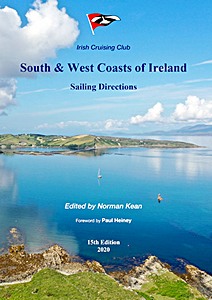
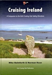
Cruising Ireland - A Companion to the Irish Cruising Club Sailing Directions

This book brings the parts the sailing directions don't reach - the history, the culture, the scenery, the geology, the wildlife, the economy, the monuments and the trivia of the coast of Ireland, by cruising sailors for cruising sailors. Lavishly and beautifully illustrated.

Specificaties

Auteur:Mike Balmforth, Norman Kean
Uitvoering:30 x 21.5 x 2.3 cm, hardcover
Illustraties:rijk geïllustreerd met kleurenfoto's
Uitgever:Irish Cruising Club Publications Ltd (IRL, 2012)
ISBN:9780955819933
Cruising Ireland - A Companion to the Irish Cruising Club Sailing Directions

Cruising Ireland - A Companion to the Irish Cruising Club Sailing Directions

Taal: Engels

Kopen bij bol.com
Kopen bij Amazon NL
Kopen bij Amazon BE
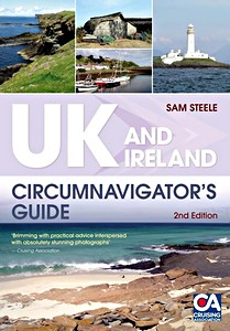
UK and Ireland - Circumnavigator's Guide (2nd Edition)

A circumnavigation of the UK and Ireland is the perfect 'doorstep' challenge for sailors and motorboaters looking for an extended cruise which doesn't take them too far from family and responsibilities and allows them to keep in touch. It doesn't require extended time off work, or linguistic ability if things go wrong - and the coastline is beautiful!

This book is a practical guide and Sam gives advice on planning and preparation: when to leave, whether to go clockwise or anti, what charts are needed, how much it is likely to cost, possible routes (via canals or 'the long way'), what stores and equipment are needed, likely pitfalls en route, and what types of running maintenance might be required. For the second edition she has added a '10 of the best' section detailing 'unmissable' places in a range of categories from remote bays and beautiful rivers to historic locations and anchorages.
UK and Ireland Circumnavigator's Guide is perfect for all those sailors and motorboaters planning as well as dreaming of one day circumnavigating Britain's beautiful islands.

Specificaties

Auteur:Sam Steele
Uitvoering:240 blz, 24.5 x 17 x 1.7 cm, softcover
Illustraties:rijk geïllustreerd met kleurenfoto's en kaarten
Uitgever:Bloomsbury Publishing PLC (GB, 2011)
ISBN:9781408131411
UK and Ireland - Circumnavigator's Guide (2nd Edition)

UK and Ireland - Circumnavigator's Guide (2nd Edition)

Taal: Engels

Kopen bij bol.com
Kopen bij Amazon NL
Kopen bij Amazon BE
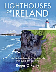
Lighthouses of Ireland : An Illustrated Guide to the Sentinels that Guard our Coastline

Since ancient times, long before GPS, radio transmission or radar, lighthouses have served as beacons helping ships to navigate Ireland's sometimes treacherous waters. The earliest lights were simply bonfires built on hillsides; in the fifth century, St Dúbhan established a brazier of burning wood or turf on the headland of Hy Kinsellagh (now known as Hook Head).
Today, despite technological advances, these coastal icons continue to serve as crucial navigational aids for the maritime traffic of our island nation, from the smallest leisure crafts to cargo ships and trawlers. By day, they mark the way with their instantly recognisable appearances; at night, by the character of their signals. One flash every two seconds tells a sailor that they are near Valentia Island off the coast of Kerry. Four flashes every twenty seconds means that they are further north, approaching Loop Head in County Clare.

As well as representing a unique part of Irish maritime history and built heritage, lighthouses are a powerful symbol of strength and resilience in times of darkness. This evokes an irresistible fascination with them in many people.

Artist Roger O'Reilly grew up near the Boyne Estuary lighthouse in County Meath and ever since has associated a sense of peace and reassurance with the warm glow of lighthouse beacons. He has spent two years criss-crossing the country to draw dramatic portraits of these sentinels of our shores. Gathered in this extraordinary collection, each beloved landmark is accompanied by a wealth of practical and insightful information: history, location, elevation, signal and range.
This spectacularly illustrated celebration of these architectural gems will be treasured by anyone who finds comfort, intrigue or excitement in the glimmer of a lighthouse through the darkness.

Specificaties

Auteur:Roger O'Reilly
Uitvoering:224 blz, 27.5 x 22 cm, hardcover
Illustraties:rijk geïllustreerd in kleur
Uitgever:The Collins Press (IRL, 2018)
ISBN:9781848893535
Lighthouses of Ireland : An Illustrated Guide to the Sentinels that Guard our Coastline

Lighthouses of Ireland : An Illustrated Guide to the Sentinels that Guard our Coastline

Taal: Engels

Kopen bij bol.com
Kopen bij Amazon NL
Kopen bij Amazon BE
Andere boeken in deze categorie:

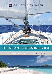
The Atlantic Crossing Guide (7th edition)

The Atlantic Crossing Guide (7th edition)

RCC Pilotage Foundation, Jane Russell | Engels | hardcover | 304 blz | 2017

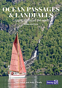
Ocean Passages and Landfalls

Ocean Passages and Landfalls - Cruising routes of the world

Rod Heikell, Andy O'Grady | Engels | hardcover | 384 blz | 2022

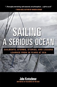
Sailing a Serious Ocean

Sailing a Serious Ocean - Sailboats, Storms, Stories and Lessons Learned from 30 Years at Sea

John Kretschmer | Engels | hardcover | 256 blz | 2013

Blauwassersegeln Manual

Blauwassersegeln Manual - Handbuch für Langfahrten und Segeln unter extremen Bedingungen

Barry Pickthall | Duits | hardcover | 272 blz | 2007


Laatste update: 2025-01-13