Guías de navegación - Oeste de Inglaterra: navegación y puertos (2/2)

¿Una guía para su crucero por la costa oeste de Inglaterra? Estas guías náuticas le informan sobre navegación, marinas y lugares de interés (2/2).

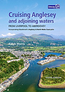
Cruising Anglesey and Adjoining Waters - From Liverpool to Aberdovey

Ralph Morris' guide to the island of Anglesey and the North Wales coast was first published over 30 years ago. At that time, it covered little more than the island itself. Over the years, the pilot has been extended and it now provides information about tides, dangers, harbours and anchorages from Liverpool (marina) to Aberdovey (the same waters covered by Imray's 2700 chart pack), plus the author's own chart graphics.

This fully updated, tenth edition is spiral-bound for easy cockpit use, full colour, chart graphics, aerial views (courtesy of Google Earth) and nearly 100 original photos. It also makes reference to the most noteworthy event in recent years- the wholesale destruction of Holyhead Marina by Storm Emma in March 2018.

Ralph Morris learned his way around Anglesey the hard way - in a day boat with a single chart and a compass which one day chose to fail in fog. That's not the only thing which prompted the decision to write this pilot, though - the prime mover was the increasing scarcity of Henry Glazebrook's 'Anglesey & North Wales Coast Pilot', which got him out of many tight corners.
The detail and precision of Glazebrook's "Anglesey & North Wales Coast Pilot" is legendary and, through this guide, the author hopes to maintain its accessibility to all yachties sailing these waters.

Detalles del libro

Autor:Ralph Morris
Presentación:230 páginas, 29.5 x 22 x 2 cm, encuadernación en espiral
Ilustración:abundantemente ilustrado con fotos a color y mapas
Editor:Imray, Laurie, Norie & Wilson Ltd (GB, 2021)
ISBN:9781786791825
Cruising Anglesey and Adjoining Waters - From Liverpool to Aberdovey

Cruising Anglesey and Adjoining Waters - From Liverpool to Aberdovey

Idioma: Inglés

Comprar en Amazon ES
Comprar en Amazon.com

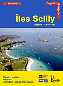
Isles of Scilly

This new edition of this comprehensive guide to the Isles of Scilly has been completely revised and updated. The background information on the islands, their history and flora and fauna has been expanded and this new edition also sees the introduction of useful waypoints.

The Royal Cruising Club Pilotage Foundation's guide is a must for anyone planning an extended visit to this beautiful archipelago on the edge of the Atlantic.

Detalles del libro

Autor:RCC Pilotage Foundation, Graham Adam
Presentación:47.5 x 29.5 x 0.7 cm, tapa blanda
Ilustración:abundantemente ilustrado con fotos a color y mapas
Editor:Imray, Laurie, Norie & Wilson Ltd (GB, 2020)
ISBN:9781786790057
Isles of Scilly

Isles of Scilly

Idioma: Inglés

Comprar en Amazon ES
Comprar en Amazon.com

Îles Scilly - Les perles de Cornouailles (Guide Imray Vagnon)

Pour chaque port, île ou baie, le lecteur trouvera une description complète et détaillée, la cartographie, les approches de jour et de nuit, les amarrages et les mouillages, les équipements et services, ou encore les visites à faire à terre.
Ce guide couvre les Îles Scilly, les perles de Cornouailles.

Les guides Vagnon sont l'adaptation française des ouvrages de la prestigieuse maison d'édition anglaise Imray, référence mondiale dans le domaine de la cartographie marine. Ils décrivent avec une précision inégalée les ports, les marinas, les mouillages...
Leur présentation claire, avec beaucoup de photos complétant de nombreuses cartes et plans détaillés en font des ouvrages indispensables pour des croisières réussies.

Detalles del libro

Autor:Graham Adam
Presentación:76 páginas, 29 x 22 x 1 cm, tapa blanda
Ilustración:abundantemente ilustrado con fotos a color y mapas
Editor:Editions Vagnon (F, 2013)
Serie:Guide Imray Vagnon
ISBN:9782857258803
Îles Scilly - Les perles de Cornouailles (Guide Imray Vagnon)

Îles Scilly - Les perles de Cornouailles

Idioma: Francés

Comprar en Amazon ES
Comprar en Amazon.com

Otros libros en esta categoría:

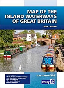
Map of the Inland Waterways of Great Britain

Map of the Inland Waterways of Great Britain

Jane Cumberlidge | Inglés | tapa dura | 1 pág. | 2016

Inland Waterways of Great Britain (8th edition)

Inland Waterways of Great Britain (8th edition)

Jane Cumberlidge | Inglés | tapa dura | 300 pág. | 2009

Britain's Canals: A Handbook (Revised Edition)

Britain's Canals- A Handbook (Revised Edition)

Nick Corble | Inglés | tapa blanda | 96 pág. | 2016

Inshore Britain

Inshore Britain

Stuart Fisher | Inglés | tapa blanda | 366 pág. | 2006


Última actualización: 2024-12-19