Küstenhandbuch Mallorca - mit Cabrera
Dieser illustrierte Revierführer bietet einen vollständigen Überblick über das Segelgebiet rund um Mallorca und die Naturschutzinsel Cabrera. Er richtet sich an Crews jeder Art: Fahrtensegler, Familien sowie Reisende, die ruhige Ankerplätze und Natur suchen. Die kompakten Texte informieren zuverlässig über Liegeplätze, Gebühren, Vorschriften, Reisebestimmungen und örtliche Hinweise.
Das Werk enthält 16 teils ausklappbare Seekarten im A3-Format mit allen wichtigen Orientierungspunkten für eine sichere Navigation.
Etwa 100 detaillierte Pläne zeigen Marinas, Häfen und Ankerbuchten mit Angaben zu Ansteuerung, Liegeplätzen und Versorgung. Das Kartenmaterial deckt die gesamte Küste ab und liefert Daten zu Küstenverlauf, Wassertiefen, Leuchtfeuern und Seezeichen.
Die stabile Spiralbindung erleichtert die Nutzung an Bord, und der robuste Umschlag ist für den Einsatz bei jeder Witterung geeignet. Damit unterstützt der Führer sowohl die Vorbereitung als auch die Navigation während des Törns und bietet eine verlässliche Grundlage für einen gut geplanten Segelurlaub.
Details
| Ausführung: | 64 Seiten, 30 x 22.5 x 1.5 cm, Spiralbindung |
|---|---|
| Abbildungen: | zahlreiche Fotos und Karten |
| Sprache: | Deutsch |
| Verlag: | Edition Maritim (D, 2023) |
| ISBN: | 9783667125163 |
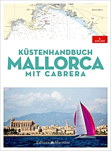
Küstenhandbuch Mallorca - mit Cabrera
Sprache: Deutsch
Preis, Verfügbarkeit und Bewertungen auf Amazon und Thalia ansehen
Kaufen bei Amazon DEKaufen bei Thalia DE

