Al comprar mediante los enlaces, apoyas este sitio sin coste adicional para usted. Más información >

Guías de navegación - Países Bajos: ríos y canales

¿Una guía náutica de los ríos, canales y lagos de Holanda? Estas guías náuticas le informan sobre navegación, marinas y atracciones turísticas.

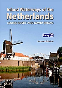
Inland Waterways of the Netherlands (2nd Edition)

With 6,000km of navigable waterways, the Netherlands offers one of the most extensive yet compact cruising grounds in Europe. This book is a user's guide to the whole network, covering all the mast-up routes and excluding only those waterways which offer less than 3.5m bridge height.
Navigational details are provided for each waterway, comprising dimensions and obstacles to be expected, including service arrangements for bridges and locks.
This is followed by details of over 300 stopping places across all 12 provinces- some which are large or popular harbours, and others which are well off the beaten track.

Comments on the significant features are expanded for nearly 100 'principal venues' where more details on things to do and see are provided, as well as information on practical facilities ashore and the authors' selective and subjective restaurant tips!
The book is designed to be of interest to all crew members, not just the skipper or navigator, whether its to establish how to approach a place, or to discover what to do or see of interest on arrival. Easy to browse, the book's illustrations have been selected to give a flavour of this water-loving country as well as to prepare the visiting yachtsman, whether under power or sail.

This second edition has been updated with amendments to the text and maps. There are also many new photos by the authors.

Detalle del libro

Autor:Louise Busby, David Broad
Presentación:300 páginas, 29.5 x 21 x 1.8 cm, tapa dura
Ilustración:ricamente ilustrado con fotos y color y mapas
Idioma:Inglés
Editorial:Imray, Laurie, Norie & Wilson Ltd (GB, 2016)
ISBN:9781846237485
Portada del libro: Inland Waterways of the Netherlands (2nd Edition) | Imray

Inland Waterways of the Netherlands (2nd Edition)

Idioma: Inglés

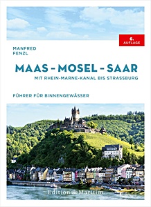
Maas - Mosel - Saar - Mit Rhein-Marne-Kanal bis Straßburg

NUEVO

Descubra las vías fluviales del Mosa, el Mosela y el Sarre, ríos que recorren Alemania, Francia, Bélgica, Luxemburgo y los Países Bajos. Conectan pueblos vinícolas románticos, castillos medievales y paisajes impresionantes. La guía de Manfred Fenzl es el compañero ideal para quienes desean explorar estas aguas interiores.
La sexta edición revisada ofrece todos los detalles náuticos necesarios para un viaje seguro y agradable. Incluye rutas por el valle del Mosela, el Sarre, el Mosa y el canal del Marne al Rin.

Incluye:
- Puentes, esclusas, niveles de agua, amarres y puntos de abastecimiento
- Información legal para la navegación de recreo y canales VHF
- Consejos para embarcaciones con remolque, incluyendo rampas y campings

Con 150 ilustraciones y 135 mapas en color, la navegación resulta sencilla. Desde el Mosela entre Nancy y Coblenza, hasta el Mosa y su canal e el meandro del Sarre - esta guía garantiza travesías seguras y sin complicaciones. Un guía imprescindible para planificar rutas y disfrutar de inolvidables viajes fluviales en Europa.

Detalle del libro

Autor:Manfred Fenzl
Presentación:272 páginas, 24.5 x 18 x 2.5 cm, tapa dura
Ilustración:150 a color, 135 mapas y color
Idioma:Alemán
Editorial:Edition Maritim (D, 2025)
ISBN:9783667122728
Portada del libro: Maas - Mosel - Saar - Mit Rhein-Marne-Kanal bis Straßburg | Edition Maritim

Maas - Mosel - Saar - Mit Rhein-Marne-Kanal bis Straßburg

Idioma: Alemán

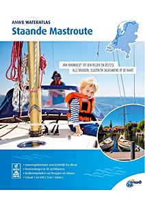
ANWB Wateratlas - Staande Mastroute

Este atlas náutico cubre la zona desde Haringvliet hasta Den Helder y Delfzijl. Todos los puentes, esclusas y puertos deportivos están claramente señalados. El mapa de la Ruta de los Mástiles Fijos ofrece una visión completa de las vías navegables, incluyendo los horarios de operación de puentes y esclusas y las instalaciones disponibles en los puertos deportivos.

Detalle del libro

Autor:ANWB
Presentación:61 páginas, 29.5 x 24.5 x 0.8 cm, tapa blanda
Idioma:Holandés
Editorial:ANWB (NL, 2024)
ISBN:9789018044930
Portada del libro: ANWB Wateratlas - Staande Mastroute | ANWB

ANWB Wateratlas - Staande Mastroute

Idioma: Holandés

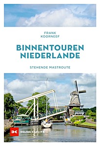
Binnentouren Niederlande - Stehende Mastroute

La Ruta del Mástil Erguido en los Países Bajos permite a los veleros recorrer las aguas interiores sin tener que abatir el mástil. Es una alternativa tranquila al Mar del Norte y ofrece una forma diferente de conocer el país.

Esta guía cubre todo el recorrido, incluyendo lagos, canales y ríos, con paradas en ciudades como Groningen, Makkum y Róterdam.
Incluye información esencial para la planificación del viaje: puentes, esclusas, puertos, profundidades y lugares para amarrar.

El autor, Frank Koorneff, vive en los Países Bajos y trabaja como periodista, fotógrafo y escritor.

Detalle del libro

Autor:Frank Koorneef
Presentación:176 páginas, 24 x 16.5 x 1.6 cm, tapa blanda
Ilustración:ricamente ilustrado
Idioma:Alemán
Editorial:Delius Klasing Verlag GmbH (D, 2024)
ISBN:9783667128324
Portada del libro: Binnentouren Niederlande - Stehende Mastroute | Delius Klasing

Binnentouren Niederlande - Stehende Mastroute

Idioma: Alemán

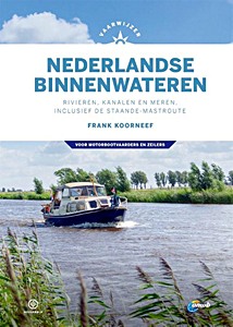
Vaarwijzer Nederlandse binnenwateren - Rivieren, kanalen en meren, inclusief de staande-mastroute

This is the reference work for all water sports enthusiasts who want to discover the Netherlands. The Dutch inland waters are unique: nowhere else in the world will you find such a fine-meshed and varied network, where you can visit all provinces while sailing.
Author Frank Koorneef provides sailing instructions, sailing routes, tips for preparing a trip and practical information about the well-known and lesser-known waterways of the Netherlands.
This new edition is designed in the new house style of the Vaarwijzer series and has been completely updated and brought up-to-date.

Many thousands of water sports enthusiasts have experienced successful boat trips and holidays in recent years with the help of the practical Vaarwijzer guides. The series is compiled by experienced sailors in the relevant sailing area. The authors want to inspire readers and provide them with all the necessary information to be able to prepare a trip well.

Detalle del libro

Autor:Frank Koorneef
Presentación:296 páginas, 24.5 x 17.5 x 2.3 cm, tapa dura
Ilustración:ricamente ilustrado con fotos y color y mapas
Idioma:Holandés
Editorial:Gottmer Uitgevers Groep BV (NL, 2020)
Colección:Hollandia Vaarwijzer
ISBN:9789064107214
Portada del libro: Vaarwijzer Nederlandse binnenwateren - Rivieren, kanalen en meren, inclusief de staande-mastroute | Hollandia Vaarwijzer | Gottmer

Vaarwijzer Nederlandse binnenwateren - Rivieren, kanalen en meren, inclusief de staande-mastroute

Idioma: Holandés

También te puede interesar:

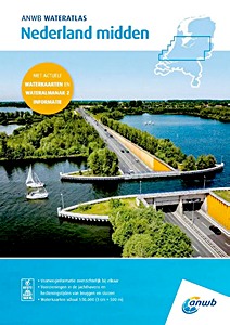
Portada del libro: ANWB Wateratlas - Nederland Midden

NUEVO

ANWB Wateratlas - Nederland Midden

ANWB | Holandés | tapa blanda | 120 pág. | 2025

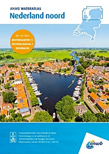
Portada del libro: ANWB Wateratlas - Nederland Noord

NUEVO

ANWB Wateratlas - Nederland Noord

ANWB | Holandés | tapa blanda | 120 pág. | 2025

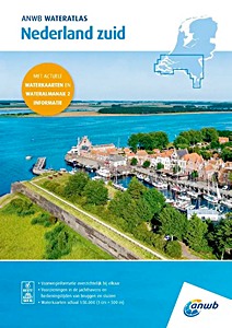
Portada del libro: ANWB Wateratlas - Nederland Zuid

NUEVO

ANWB Wateratlas - Nederland Zuid

ANWB | Holandés | tapa blanda | 120 pág. | 2025

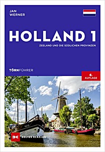
Portada del libro: Törnführer Holland 1: Zeeland und die südlichen Provinzen

NUEVO

Törnführer Holland 1: Zeeland und die südlichen Provinzen

Jan Werner | Alemán | tapa blanda | 224 pág. | 2025

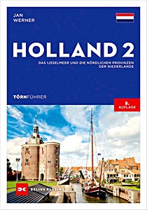
Portada del libro: Törnführer Holland 2 - Das IJsselmeer und die nördlichen Provinzen der Niederlande

NUEVO

Törnführer Holland 2 - Das IJsselmeer und die nördlichen Provinzen der Niederlande

Jan Werner | Alemán | tapa blanda | 224 pág. | 2025

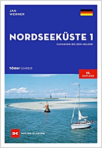
Portada del libro: Törnführer Nordseeküste 1 - Cuxhaven bis Den Helder

Törnführer Nordseeküste 1 - Cuxhaven bis Den Helder

Jan Werner | Alemán | tapa blanda | 272 pág. | 2024

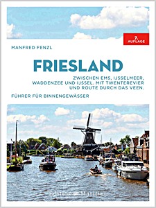
Portada del libro: Friesland: Zwischen Ems, IJsselmeer, Waddenzee und IJssel. Mit Twenterevier und Route durch das Veen

Friesland: Zwischen Ems, IJsselmeer, Waddenzee und IJssel. Mit Twenterevier und Route durch das Veen

Manfred Fenzl, Anna Bunde | Alemán | tapa dura | 232 pág. | 2023

Portada del libro: Vaarwijzer: De Waddenzee - Vaargebieden tussen Den Helder en Sylt | Hollandia Vaarwijzer

Vaarwijzer: De Waddenzee - Vaargebieden tussen Den Helder en Sylt

Jan Heuff | Holandés | tapa dura | 200 pág. | 2021