Esta página web contiene enlaces pagados

Guías de navegación - Inglaterra: ríos y canales

¿Una guía para su crucero por Inglaterra (ríos y canales)? Estas guías náuticas le informan sobre navegación, marinas y lugares de interés.

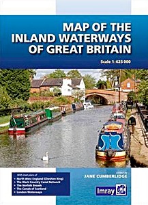
Map of the Inland Waterways of Great Britain

First published over 60 years ago when interest in reviving Britain's network of navigable and rivers was starting to gather pace, this map provides the best coverage of the system in England, Wales and Scotland.
Distances, the number of locks and restricting dimensions are given for each waterway. The simple cartography defines rivers, broad and narrow canals against generalized relief and the major road network.
The 2016 edition has been updated to show progress in restoration schemes and other changes.

Autor:Jane Cumberlidge
Presentación:1 páginas, 26 x 19 x 1.2 cm, tapa dura
Ilustración:abundantemente ilustrado con fotos a color y mapas
Editor:Imray, Laurie, Norie & Wilson Ltd (GB, 2016)
EAN:9781846238277
Livre: Map of the Inland Waterways of Great Britain

Map of the Inland Waterways of Great Britain

Idioma: Inglés

Comprar en Amazon ES

Inland Waterways of Great Britain (8th edition)

The standard reference to the waterways of England, Wales and Scotland has been completely revised. The 8th edition retains the format of previous editions but, throughout, details are updated and the work has been widened in its scope to appeal not only to navigators but to all users of the waterways.
Full colour throughout.

Autor:Jane Cumberlidge
Presentación:300 páginas, 30.5 x 21.5 x 5.4 cm, tapa dura
Ilustración:abundantemente ilustrado con fotos a color y mapas
Editor:Imray, Laurie, Norie & Wilson Ltd (GB, 2009)
EAN:9781846230103
Livre: Inland Waterways of Great Britain (8th edition)

Inland Waterways of Great Britain (8th edition)

Idioma: Inglés

Comprar en Amazon ES

The Canals of Britain : The Comprehensive Guide (3rd Edition)

A comprehensive and absorbing survey of the canal network of the British Isles - the first of its kind. It provides a fascinating insight into the linked up waterways as well as the isolated cuts and quiet waters which may not be fully navigable by larger craft.
Infinitely varied, it passes picturesque open countryside, wild moorland, coastal harbours, historic industrial buildings, modern city centres, canalside public houses and abundant wildlife.

Stuart Fisher looks at every aspect of the canals - their construction, rich history, stunning scenery, heritage, incredible engineering, impressive architecture and even their associated folklore, wildlife and art.
Enticing photographs give a flavour of each place and places of interest close to the canals are included. For those who are keen to explore that little bit further, taking smaller boats to points beyond which others usually turn back, there is information on little-known parts of the system, offering a new insight into this country's unique, surprising and beautiful canal network.

Attractive, inspiring and foremost a practical guide, this has proved very popular with canal enthusiasts and boaters wanting to get the most out of Britain's canals.
This third edition has been revised to reflect the ever-changing landscape of Britain's canals, and includes many new colour photographs to help bring it to life.

Autor:Stuart Fisher
Presentación:336 páginas, 30 x 21.5 x 2.4 cm, tapa blanda
Ilustración:abundantemente ilustrado con fotos a color, mapas y dibujos
Editor:Bloomsbury Publishing PLC (GB, 2017)
EAN:9781472929723
Livre: The Canals of Britain : The Comprehensive Guide (3rd Edition)

The Canals of Britain : The Comprehensive Guide (3rd Edition)

Idioma: Inglés

Comprar en Amazon ES

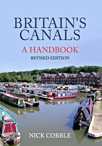
Britain's Canals- A Handbook (Revised Edition)

With over 2,000 miles of navigable waterway in the UK, Britain's canals are an asset to be treasured by everyone. Nick Corble has written an accessible guide which will help you get the best out of a visit or a boating holiday on the canal network.

Whether your interest lies in the history, the flora and fauna to be found along the towpath, or even the types of boats and their decoration, there is enough in "Britain's Canals: A Handbook" to inform and entertain you.
Seeking to appeal to and aid the interested tourist, dog-walker, passer-by, or even hopeful boat-buyer, this handbook is packed with tips, hints and useful facts, presented in layman's terms and helping the reader discover what makes our canals so special.
A wealth of illustrations in full colour makes this the perfect primer for anyone who wants to know more about Britain's waterways.

Nick Corble writes extensively on canals and there is little he does not know about the network of waterways that criss-cross Britain. This is his seventh book on canals and canal history.

Autor:Nick Corble
Presentación:96 páginas, 23.5 x 16.5 cm, tapa blanda
Ilustración:150 fotos a color
Editor:Amberley Publishing (GB, 2016)
EAN:9781445658131
Livre: Britain's Canals- A Handbook (Revised Edition)

Britain's Canals- A Handbook (Revised Edition)

Idioma: Inglés

Comprar en Amazon ES

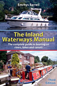
The Inland Waterways Manual - The complete guide to boating on rivers, lakes and canals (3rd Edition)

There are more than 4000 miles of navigable waterways in Great Britain, with more in Ireland and Europe. Peaceful canals, bustling rivers, glorious lakes - there is something for everyone.

This book will tell the reader all they need to know about how to get afloat - which boat to choose, whether to hire or buy, how much it will cost, and where they can go. Boat handling and manoeuvring are covered in detail, along with maintenance and repair. And there is a section on trailer boating for those who want to keep their boat at home, advice on living aboard for long periods, night-time navigation and training.

Autor:Emrhys Barrell
Presentación:224 páginas, 23.5 x 15.5 x 1.2 cm, tapa blanda
Ilustración:abundantemente ilustrado con fotos y dibujos y color
Editor:Bloomsbury Publishing PLC (GB, 2006)
EAN:9780713676365
Livre: The Inland Waterways Manual - The complete guide to boating on rivers, lakes and canals (3rd Edition)

The Inland Waterways Manual - The complete guide to boating on rivers, lakes and canals (3rd Edition)

Idioma: Inglés

Comprar en Amazon ES

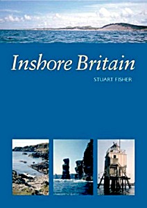
Inshore Britain

An invaluable resource when planning a journey by small boat anywhere along Britain's coast. Designed to provide guidance for sea kayakers, it is also appropriate for those making day trips in small craft.

Full of sound and practical advice, providing essential guidance on aspects of safety and incorporating an exhaustive directory of useful information, this is the most comprehensive guide to Britain's inshore waters available in a single volume.

'Inshore Britain' is an anthology of articles, each dealing with a particular stretch of coast around Britain, that were first published in Canoeist magazine. Stuart Fisher's commentary is a fascinating read for anyone interested in Britain's long and varied coastline. The text is fully illustrated with full colour mapping and the author's photography.

Autor:Stuart Fisher
Presentación:366 páginas, 29.5 x 21.5 x 2.1 cm, tapa blanda
Ilustración:abundantemente ilustrado con fotos a color y mapas
Editor:Imray, Laurie, Norie & Wilson Ltd (GB, 2006)
EAN:9780852889060
Livre: Inshore Britain

Inshore Britain

Idioma: Inglés

Comprar en Amazon ES

Otros libros en esta categoría:

London's Waterways

London's Waterways

Derek Pratt

Inglés | tapa dura | 160 pág. | 2010

The River Thames - A guide for river users

The River Thames - A guide for river users

Chris Cove-Smith

Inglés | encuadernación en espiral | 235 pág. | 2022

Map of the River Thames

Map of the River Thames - From the Source to Hammersmith Bridge

Inglés | mapa (doblado) | 1 pág. | 2021

Crossing the Thames Estuary

Crossing the Thames Estuary - 60 fully explained routes and simplified passage planning tables

Roger Gaspar

Inglés | encuadernación en espiral | 268 pág. | 2022

The Thames - A Photographic Journey

The Thames - A Photographic Journey from Source to Sea

Derek Pratt

Inglés | tapa dura | 160 pág. | 2013

Imray Chart C1: Thames Estuary

Imray Chart C1 : Thames Estuary - Tilbury to North Foreland and Orfordness

Imray

Inglés | mapa (doblado) | 1 pág. | 2018


Última actualización:30-06-2024