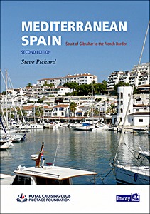
Mediterranean Spain - Gibraltar to the French border
The second edition of this well-received title from the Royal Cruising Club Pilotage Foundation covers the entire Mediterranean mainland coast of Spain from Gibraltar to the French border.
This is the only detailed pilot for the Spanish Mediterranean coast running up from Gibraltar to the border with France. It covers a varied cruising area that includes the mountain-backed Costas del and Sol and Blanca, the expansive lagoon of the Mar Menor, the low-lying Ebro delta and the rugged Costa Brava.
In between are several great cities including Malaga, Valencia, Tarragona and Barcelona, the Catalan capital. The volume opens with Gibraltar and La Línea.
With Imray charts for the same coast, Mediterranean Spain provides all the data necessary for anyone based in Spain, transitting to and from areas further East or the Balearics, or just exploring this rich and varied coast and its hinterland.
The coverage has been revised with the text updated, new plans added and other plan updates based on the latest information. This edition has been enhanced by the addition of over 100 aerial photographs showing coastline and harbour approaches.
Product details
| Author: | RCC Pilotage Foundation, Steve Pickard |
|---|---|
| Details: | 408 pages, 12 x 8.7 x 1.1 in (30.5 x 22 x 2.8 cm), hardback |
| Illustrations: | many color photos and maps |
| Language: | English |
| Publisher: | Imray, Laurie, Norie & Wilson Ltd (GB, 2021) |
| ISBN: | 9781786791832 |
Mediterranean Spain - Gibraltar to the French border
Language: English
View price, availability, and reviews on Amazon
Buy on Amazon.comBuy on Amazon UK
Buy on Amazon CA

