When you order through the buttons on this page, we may earn a small commission at no extra cost to you. Learn more >

Cruising guides - Netherlands: navigation and marinas

A sailing guide for your boating holiday in the Netherlands? Here are cruising guides and directions that inform you about navigation and marinas.

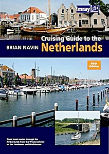
Cruising Guide to the Netherlands (5th edition)

This is the fifth editon of 'Cruising Guide to the Netherlands' which was first published in 1988. It is regarded as the authoritative companion for anyone cruising the Netherlands using fixed mast routes.

Brian Navin's guide is based on popular selected routes which offer an opportunity to visit most of the regions of the Netherlands from the estuary of the Schelde up to the IJsselmeer and Waddensee.

This new edition follows the same pattern, and includes corrections and updates that have accumulated since the fourth edition was published. This includes amended harbour plans and new photographs taken by the author.

Product details

Author:Brian Navin
Details:203 pages, 29.5 x 21 x 1.5 cm / 11.6 x 8.25 x 0.59 in, paperback
Illustrations:numerous colour photos and maps
Publisher:Imray, Laurie, Norie & Wilson Ltd (GB, 2010)
ISBN:9781846231858
Book: Cruising Guide to the Netherlands (5th edition)

Cruising Guide to the Netherlands (5th edition)

Language: English

Buy on Amazon.com
Buy on Amazon UK
Buy on Amazon CA
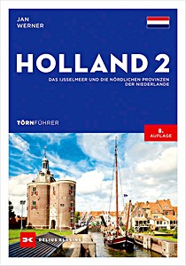
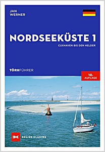
Törnführer Nordseeküste 1 - Cuxhaven bis Den Helder

NEW

The North Sea is an attractive but demanding sailing area. Jan Werner's guide presents the best sailing routes between Cuxhaven and Den Helder. The guide explains the specifics of tidal waters in Germany and the Netherlands, allowing even beginners to navigate safely.
Regions covered include Helgoland, Weser, Jade and Jadebusen, the East Frisian Wadden Sea, Ems including Borkum, the Dutch Waddenzee, and the West Frisian Islands. All essential harbor information is included, such as approaches, services, facilities, and sights.

The 9th edition also explains basic seamanship and tidal navigation in an understandable way. Updated data support careful planning and orientation on site.
The North Sea offers experienced and novice sailors diverse trips, striking landscapes, and challenges from tides and changing weather. With this practical harbor guide on board, you are well prepared to enjoy a safe and relaxed sailing experience.

Product details

Author:Jan Werner
Details:272 pages, 24 x 17 x 1.7 cm / 9 x 6.7 x 0.67 in, paperback
Illustrations:128 colour photos, 100 maps in colour
Publisher:Delius Klasing Verlag GmbH (D, 2024)
ISBN:9783667121745
Book: Törnführer Nordseeküste 1 - Cuxhaven bis Den Helder

Törnführer Nordseeküste 1 - Cuxhaven bis Den Helder

Language: German

Buy on Amazon.com
Buy on Amazon UK
Buy on Amazon CA
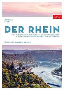
Der Rhein - Vom Rheinfall bis zur Nordsee und zum IJsselmeer. Neckar bis Heidelberg und Lahn bis Limburg

From the High Rhine to the Netherlands: the Rhine and its tributaries offer diverse options for boating holidays. Whether a weekend trip along the vineyards or a longer journey to the IJsselmeer, careful planning is essential.

The 9th edition of the trusted inland waterway guide by Manfred Fenzl provides all necessary information for a relaxed Rhine tour. The compact guide covers all sections of the Rhine - from the Rhine Falls at Schaffhausen to the North Sea in the Netherlands - and its tributaries: High Rhine, Upper Rhine, Middle Rhine, Lower Rhine, Neckar to Heidelberg, Lahn to Limburg, Gelderse IJssel, and Maas.

Detailed river maps with distances, locks, bridge heights, fuel stations, slipways, and moorings make navigation easier. Numerous photos and short texts about each waterway provide clear guidance for planning and orientation.
With this guide, leisure captains have all the information needed for safe and enjoyable boating trips on the Rhine at a glance.

Product details

Author:Manfred Fenzl
Details:208 pages, 30 x 21.5 x 2.2 cm / 11.8 x 8.5 x 0.87 in, hardback
Illustrations:140 maps
Publisher:Edition Maritim (D, 2022)
ISBN:9783667121608
Book: Der Rhein - Vom Rheinfall bis zur Nordsee und zum IJsselmeer. Neckar bis Heidelberg und Lahn bis Limburg

Der Rhein - Vom Rheinfall bis zur Nordsee und zum IJsselmeer. Neckar bis Heidelberg und Lahn bis Limburg

Language: German

Buy on Amazon.com
Buy on Amazon UK
Buy on Amazon CA
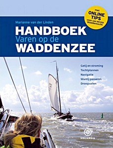
Handboek varen op de Waddenzee

The "Handboek varen op de Waddenzee" is one of the most successful Hollandia publications of recent years. The book has been enthusiastically received in the water sports world and has proven itself as a fully-fledged standard work.

This new edition has been completely updated and is up-to-date and will show both new and advanced sailors the way on the Wadden Sea. Sailing on the Wadden Sea remains a challenge for many water sports enthusiasts and this book offers the knowledge you need for this.

Special attention to:
- Tides and currents
- Trip plans
- Navigation
- Passing the Wantij
- Running aground.

Product details

Author:Marianne van der Linden
Details:224 pages, 28 x 21.5 x 2 cm / 11 x 8.5 x 0.79 in, hardback
Illustrations:profusely illustrated
Publisher:Gottmer Uitgevers Groep BV (NL, 2019)
ISBN:9789064106576
Book: Handboek varen op de Waddenzee

Handboek varen op de Waddenzee

Language: German

Buy on Amazon.com
Buy on Amazon UK

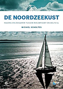
Vaarwijzer: De Noordzeekust

The coast of the Low Countries is one of the most dangerous in the world. There is hardly any place to shelter. Currents, breakers and swell can pose a great danger and there are sandbanks in inconvenient places. Michiel Scholtes travelled from Nieuwpoort to Delfzijl and wrote a practical reference work with which sailors can approach ports and sea inlets in the area in a responsible manner.
In this Vaarwijzer you can read not only about the dangers, but also about the great pleasure of a beautiful trip along the dune row. An indispensable book on board for anyone who ventures out to sea.

In 2020, Peter Schermer sailed the coastal area again in the wake of Michiel Scholtes. He carefully noted the changes in the approaches to a safe harbour and has incorporated them into this new edition.

Many thousands of water sports enthusiasts have experienced successful boat trips and holidays in recent years with the help of the practical Vaarwijzer guides. The series is compiled by experienced sailors in the relevant sailing area. The authors want to inspire readers and provide them with all the necessary information to be able to prepare a trip well.

Fourth, revised edition

Product details

Author:Michiel Scholtes
Details:207 pages, 25 x 17.5 x 2 cm / 9.8 x 6.9 x 0.79 in, hardback
Illustrations:numerous colour photos and maps
Publisher:Gottmer Uitgevers Groep BV (NL, 2021)
Series:Hollandia Vaarwijzer
ISBN:9789064107207
Book: Vaarwijzer: De Noordzeekust

Vaarwijzer: De Noordzeekust

Language: Dutch

Buy on Amazon.com
Buy on Amazon UK

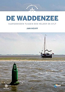
Vaarwijzer: De Waddenzee - Vaargebieden tussen Den Helder en Sylt

The "Vaarwijzer De Waddenzee" has been the reference work for all water sports enthusiasts who want to sail between Den Helder and Sylt for decades. This waterway, however beautiful, can be very changeable. Author Jan Hueff lives on Terschelling and keeps a close eye on the changes in channels, tidal flats and harbours on all his sailing trips.
This new edition is designed in the new house style of the Vaarwijzer series and has been completely updated and up-to-date.

Many thousands of water sports enthusiasts have experienced successful boat trips and holidays in recent years with the help of the practical Vaarwijzer guides. The series is compiled by experienced sailors in the relevant sailing area. The authors want to inspire readers and provide them with all the necessary information to be able to prepare a trip well.

Product details

Author:Jan Heuff
Details:200 pages, 24.5 x 17.5 x 1.9 cm / 9.7 x 6.9 x 0.75 in, hardback
Illustrations:numerous colour photos
Publisher:Gottmer Uitgevers Groep BV (NL, 2021)
Series:Hollandia Vaarwijzer
ISBN:9789064107191
Book: Vaarwijzer: De Waddenzee - Vaargebieden tussen Den Helder en Sylt

Vaarwijzer: De Waddenzee - Vaargebieden tussen Den Helder en Sylt

Language: Dutch

Buy on Amazon.com
Buy on Amazon UK
Buy on Amazon CA
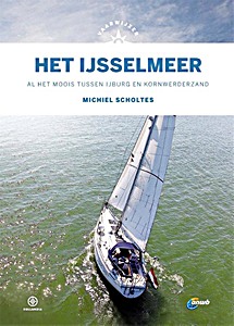
Vaarwijzer: Het IJsselmeer - Al het moois tussen IJburg en Kornwederzand

For many sailors, the IJsselmeer is the first major waterway from the lakes. However, most water sports enthusiasts only sail along the main harbours, while there is so much beauty to be found off the beaten track.
In addition to all the information about the well-known harbours and routes, this Vaarwijzer also tries to tempt the reader to discover lesser-known places. This new edition is completely up-to-date again, including the new sailing area around the Marker Wadden, so that everyone can enjoy themselves on their own water this summer.

Many thousands of water sports enthusiasts have experienced successful boat trips and holidays in recent years with the help of the practical Vaarwijzer guides. The series is compiled by experienced sailors in the relevant sailing area. The authors want to inspire readers and provide them with all the necessary information to be able to prepare a trip well.

Product details

Author:Michiel Scholtes
Details:159 pages, 25 x 17.5 x 1.4 cm / 9.8 x 6.9 x 0.55 in, hardback
Illustrations:numerous colour photos and maps
Publisher:Gottmer Uitgevers Groep BV (NL, 2021)
Series:Hollandia Vaarwijzer
ISBN:9789064107412
Book: Vaarwijzer: Het IJsselmeer - Al het moois tussen IJburg en Kornwederzand

Vaarwijzer: Het IJsselmeer - Al het moois tussen IJburg en Kornwederzand

Language: Dutch

Buy on Amazon.com
Buy on Amazon UK

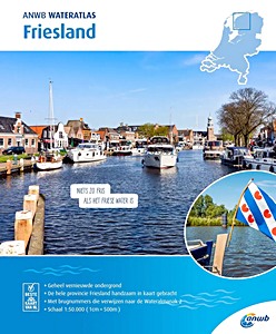
ANWB Wateratlas - Friesland

The ANWB Water Charts and Atlases are essential in water sports. No skipper in the Netherlands navigates without this reliable nautical information. This Water Atlas is particularly useful for sailing in Friesland and includes:

- Detailed and reliable nautical maps
- Bridge numbers referring to Wateralmanak 2
- Overview of marinas
- Information on permitted water depths
- Maximum sailing speeds per area
- Detailed maps of key locations
- Clear legend

Product details

Author:ANWB
Details:33 pages, 30 x 24.5 x 0.5 cm / 11.8 x 9.7 x 0.2 in, paperback
Publisher:ANWB (NL, 2020)
ISBN:9789018045951
Book: ANWB Wateratlas - Friesland

ANWB Wateratlas - Friesland

Language: Dutch

Buy on Amazon UK
< >

Related titles:

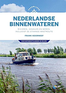
Vaarwijzer Nederlandse binnenwateren

Vaarwijzer Nederlandse binnenwateren - Rivieren, kanalen en meren, inclusief de staande-mastroute

Frank Koorneef | Dutch | hardback | 296 p. | 2020

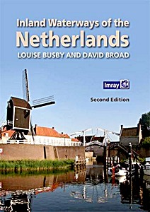
Inland Waterways of the Netherlands

Inland Waterways of the Netherlands (2nd Edition)

Louise Busby, David Broad | English | hardback | 300 p. | 2016

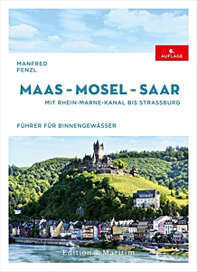
Maas - Mosel - Saar

NEW

Maas - Mosel - Saar - Mit Rhein-Marne-Kanal bis Straßburg

Manfred Fenzl | German | hardback | 272 p. | 2025

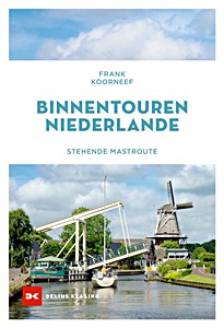
Binnentouren Niederlande - Stehende Mastroute

NEW

Binnentouren Niederlande - Stehende Mastroute

Frank Koorneef | German | paperback | 176 p. | 2024

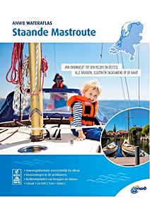
ANWB Wateratlas - Staande Mastroute

NEW

ANWB Wateratlas - Staande Mastroute

ANWB | Dutch | paperback | 61 p. | 2024

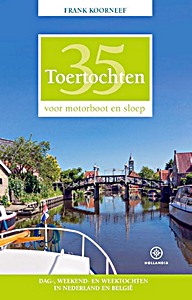
35 Toertochten voor motorboot en sloep

35 Toertochten voor motorboot en sloep - Dag-, weekend- en weektochten in Nederland en België

Frank Koorneef | Dutch | paperback | 352 p. | 2019

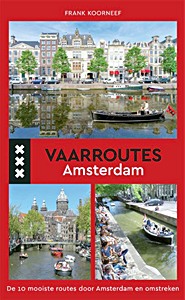
Vaarroutes Amsterdam

Vaarroutes Amsterdam - De 10 mooiste routes door Amsterdam en omstreken

Frank Koorneef | Dutch | paperback | 127 p. | 2017